Click maps for a larger version.
Sample maps


Comparison of WLMS maps produced with and without the companion Seamless Digital Chart of the World for context:
Map with WLMS data only:

Map with WLMS and SDCW data:

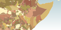
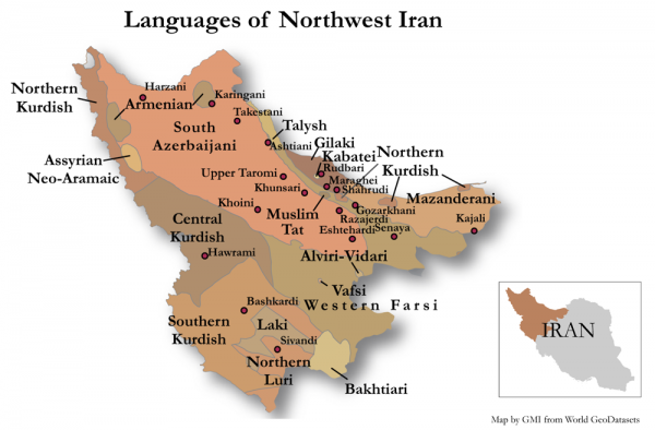
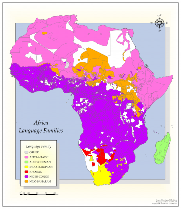
Steve Huffman Language Maps
See various language maps created with the WLMS.