Sample maps
Click on any map for a larger version.

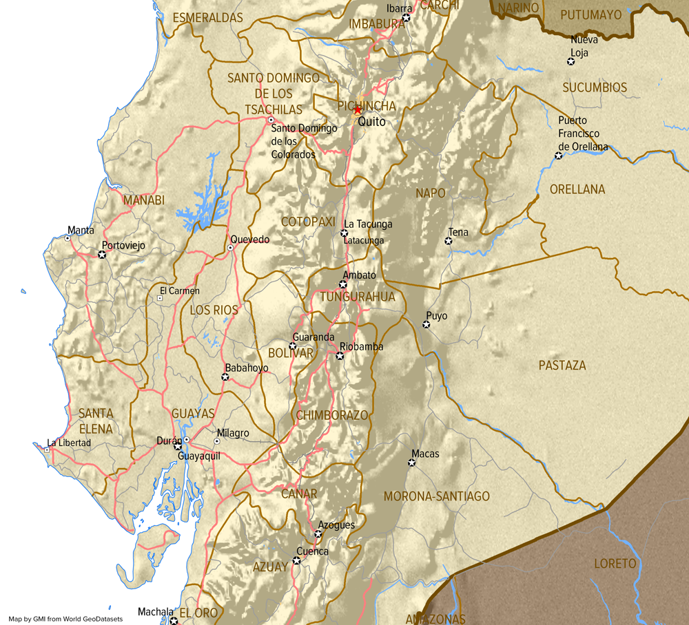
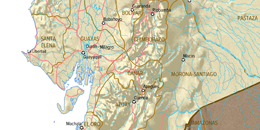
Provinces, transportation, populated places, and hillshades
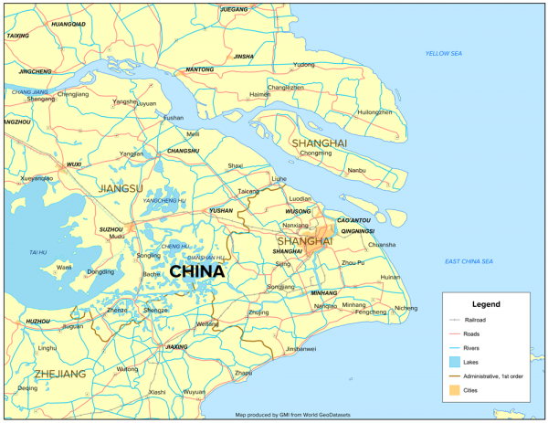
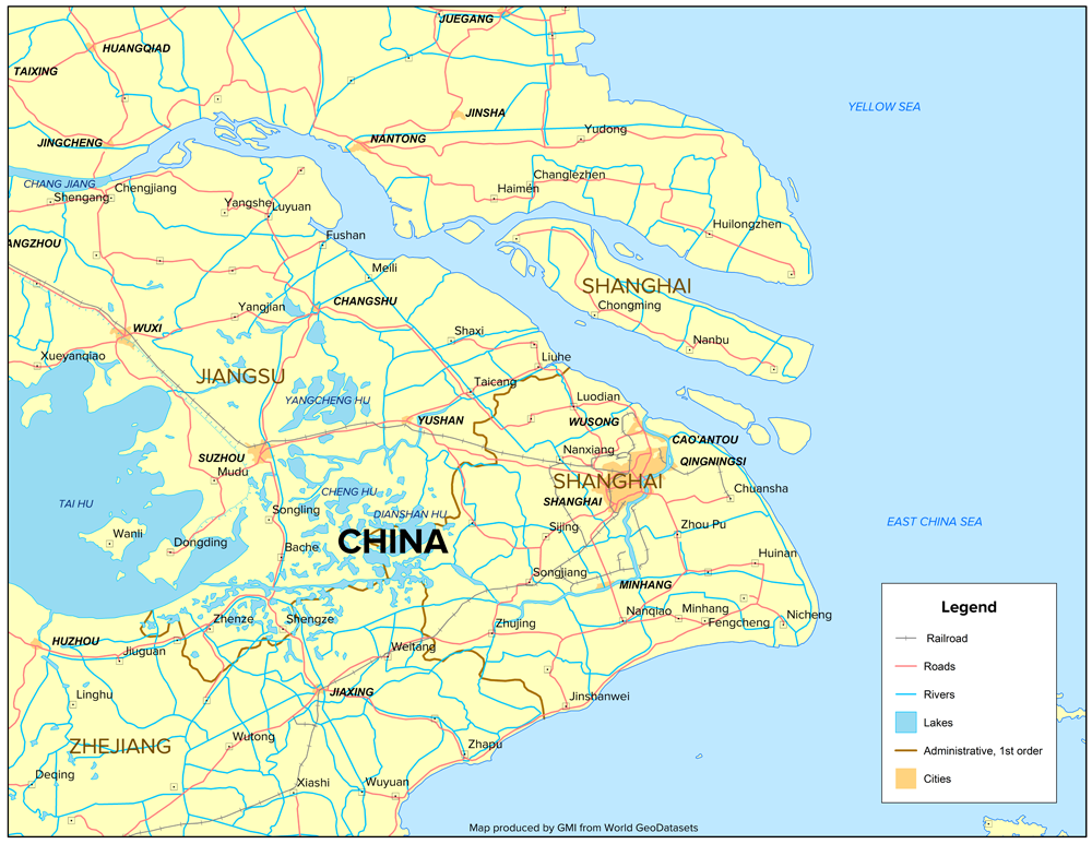
Select cities, transportation, and water features near Shanghai, China
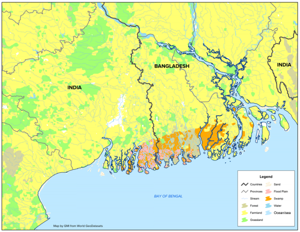
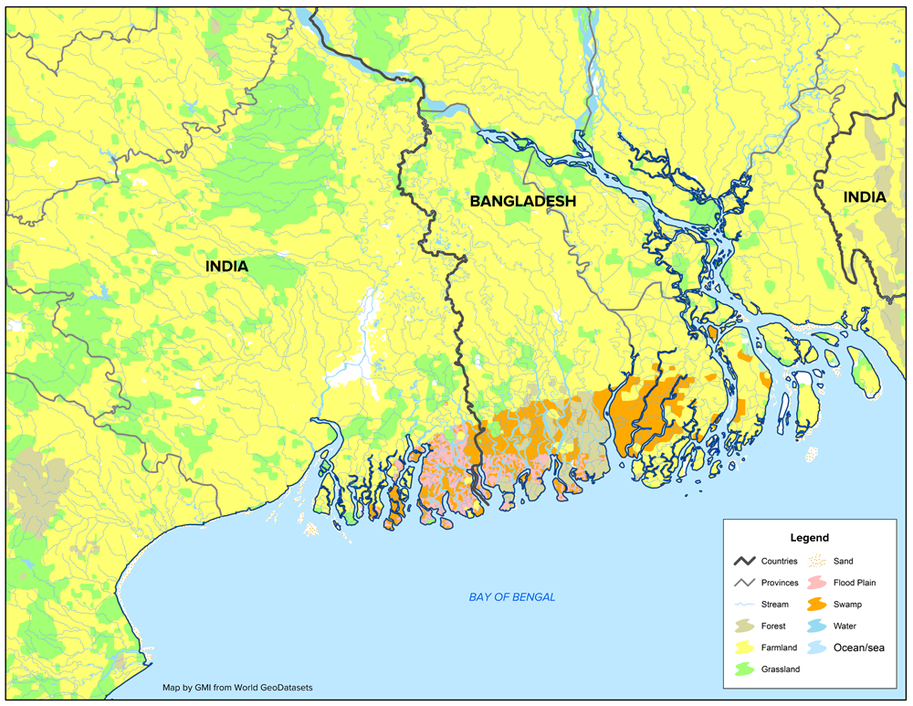
Land cover and water features of Bangladesh and India
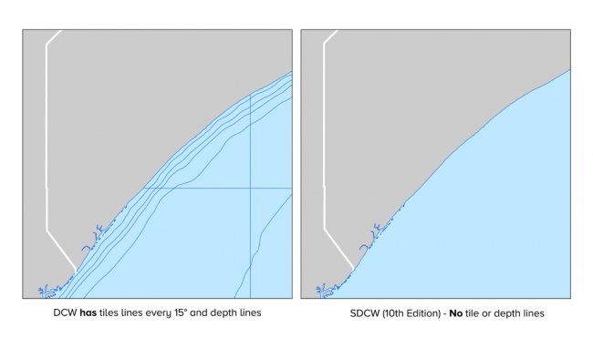
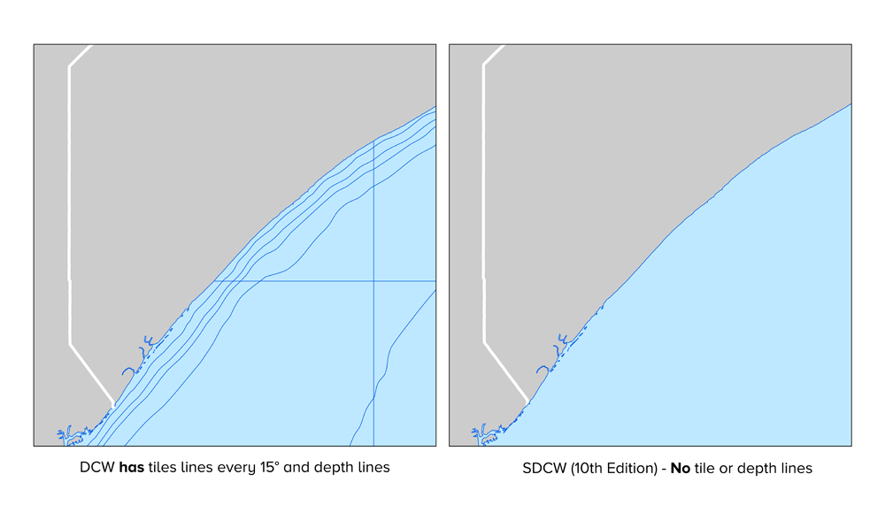
Seamless data format that eliminates duplicate layers and tile boundary artifacts
What's new
Click on any map for a larger version.
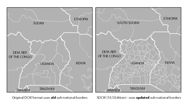
Updated country and province polygons

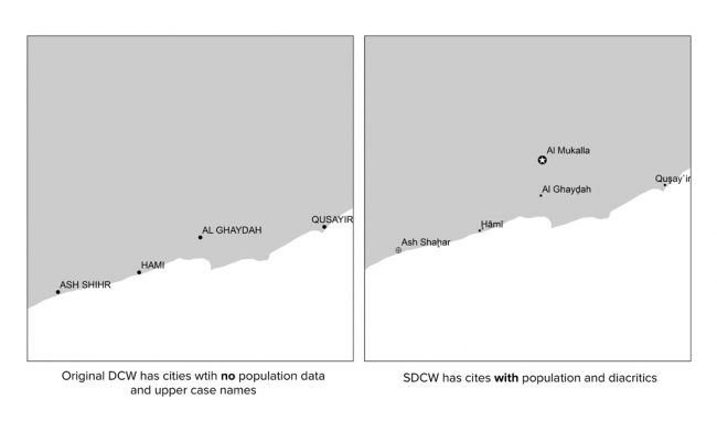
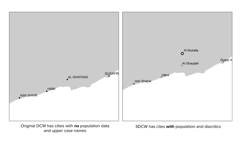
Extended set of population-classified cities and towns with improved name rendering (GNS names with unicode diacritics)
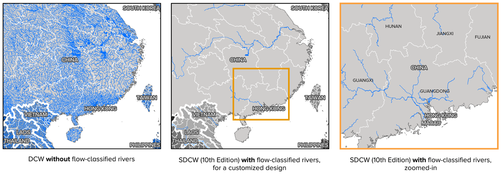
Simplified display of rivers; data is included for the waterflow of each river, so smaller rivers can be excluded in a customized design.